El Paso International Airport (ELP)
Orientation and Maps
(El Paso, Texas (TX), USA)
Sited on the far western side of Texas, El Paso is a surprisingly large city, considering its general lack of wealth and prosperity. However, El Paso still has plenty of top attractions, both natural and manmade, with the El Paso Visitors Center being located at the Civic Center along Santa Fe Street.
Major landmarks around the city include the University of Texas at El Paso (UTEP) to the northwest, which was founded in 1914 and stands close to the Arroyo Park, off the US-85 highway. To the northeast, El Paso International Airport (ELP) is connected to the downtown district by bus No. 33 and a rank of taxi cabs. The city's bus network is run by Sun Metro, while those looking for long-haul bus transport will find the Greyhound Bus Station along West San Antonio Avenue, and the Union Depot train station on the San Francisco Avenue.
El Paso International Airport (ELP) Maps: Important City Districts
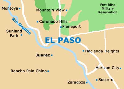
Downtown El Paso features a stunning backdrop, provided by the Franklin Mountains. These dominant mountains divide the city into two main regions, with the border to the neighboring state of New Mexico lying on the western side. East and west El Paso are linked by the I-10 interstate and also by the Transmountain Road.
The true historic center of the city is based around the San Jacinto Plaza, which is the epicenter of culture. Hosting many annual celebrations, El Paso's San Jacinto Plaza features a good selection of restaurants and a pleasant park area with plenty of benches. A good way to explore this part of the city is on the self-guided walking tour, and leaflets of this route are available at the El Paso Visitors Center.
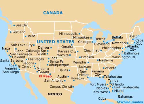
United States Map
Texas Map

El Paso Map